about
free
exclusive
patterns
vector
microstock
premium
log in
sign up
about
free
exclusive
patterns
vector
microstock
premium
log in
sign up
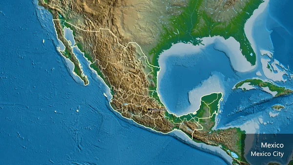
Close-up of the Mexico border area and its regional borders on a physical map. Capital point. Outline around the country shape. English name of the country and its capital
Keywords:
aerial view
blue
water
nature
space
map
illustration
physical geography
topography
design
cartography
planet
Select...
photo, drag here or paste
How to get an image URL
Right-click an image on the web and copy the image’s URL. Return to the search box and paste in the URL (Ctrl+V or Command+V).
By staying on our site, you agree to our use of cookies. Read more in the
cookie policy